Satshot
A specialist mapping service connecting field boundaries, satellite imagery and crop analysis.
Website overview
Satshot is an agricultural mapping and satellite-imagery service. Its public website describes a workflow for defining fields, analyzing imagery and exporting information into other systems. It also introduces Mapcenter, Landscout and iCue as different parts of that workflow. The page has an older visual style than many current SaaS sites, but it provides a concrete example of software built around field boundaries and agricultural operations rather than a broad productivity task.
What caught our eye
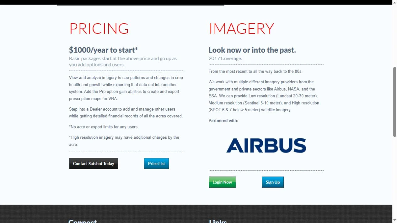
What makes the niche specific: A field is both a location and a unit of work. The website links its mapping tools with satellite imagery, crop observations and exports. Those relationships are the reason to study this selection: the value proposition depends on an industry’s data and operating context.
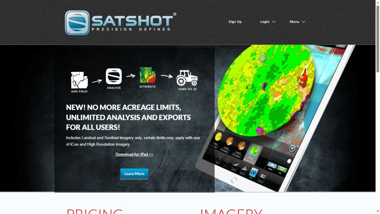
Hero & explanation: The opening scene combines a tablet map with a short illustrated sequence: add a field, analyze it, attribute the result and send it onward. Bright green and yellow map zones contrast with a dark textured background. The diagram communicates an intended workflow more directly than a list of generic collaboration features would.
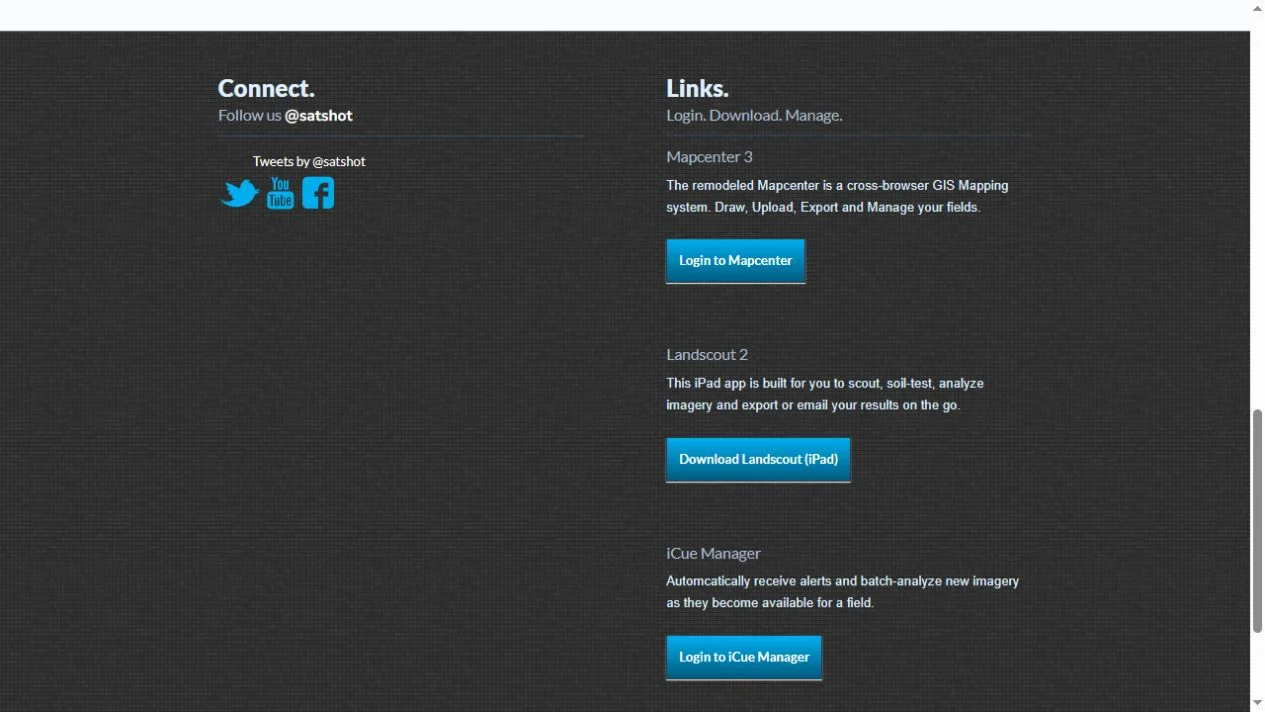
Product structure: Separate descriptions introduce browser-based field mapping, an iPad scouting application and imagery alerts. The public page also discusses imagery sources and resolution. These details help a reader distinguish mapping, observation and analysis rather than treating every image as the same product.
Important context: Several public sections refer to older dates and a historical pricing document. We have not confirmed those prices, current coverage or the present availability of every listed application. This is an independently selected niche-software reference, not a purchasing recommendation or proof of a currently profitable business. Contact the provider for current service terms before relying on it for agricultural decisions.
Who might find it useful?
People exploring specialist agricultural GIS and field-imagery software.
Website screenshots